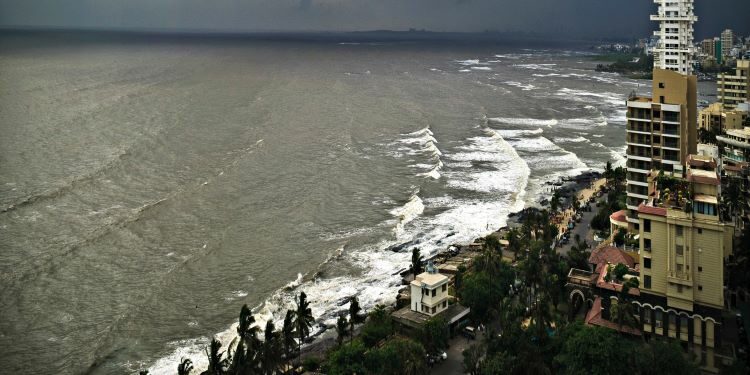
In news : The draft Coastal Zone Management Plan (CZMP) prepared by the National Centre for Sustainable Coastal Management (NCSCM), Chennai has faced several criticisms in Goa
How did the concept of CZMP evolve?
Ministry of Environment, Forests and Climate Change (MoEF), in a notification of January 6, 2011, stated that it wanted to secure the livelihood of the fishing communities and other local communities living in the coastal areas, conserve and protect coastal stretches, their unique environment and marine area and promote development in a sustainable manner.
The same notification declared the coastal stretches of the country and India’s territorial waters as Coastal Regulation Zone (CRZ) excluding Andaman and Nicobar and Lakshadweep islands.
The respective state governments and Union Territories were then directed to prepare Coastal Zone Management Plans (CZMP) by identifying and classifying the CRZ areas
The Goa state department of environment handed over the responsibility of preparing the CZMP to the NCSCM in 2014.
What is CZMP?
The preparation of the CZMPs includes the demarcation of High Tide Line(HTL) and Low Tide Line(LTL) remains one of the most essential processes based on which coastal land use can be planned for and regulated
What is the purpose of CZMP?
As per the draft report of NCSCM, the purpose of CZMP is to describe proposed actions to be implemented by administrative or other public authorities and potentially by the private sector to address priority management issues in the coastal zone over a defined implementation period.
Why has the draft CZMP been opposed?
It was prepared without due consultation
As per the Environmentalists, local bodies and opposition parties the 30-day limit for suggestions and objections to the draft was not legal, as it was contrary to the 60-day limit provided by the Environment Protection Rules, 1986.
It has also been pointed out that some villages are finding errors in the village plans put up by GCZMA
Activists had alleged that 254 maps that were to cover the state but certain villages and municipal areas have been missing from the maps.
Current update:
- The CRZ Notification, 2011, has been superseded by the CRZ Notification issued vide Notification No. G.S.R. 37(E), dated the 18th January, 2019
- All coastal States and Union territory administrations shall update their respective CZMPs (which was prepared based on the CRZ Notification 2011), as per the provisions contained in the CRZ Notification, 2019, and after its updation and finalization following due procedures shall submit to the MoEFCC for its final approval at the earliest
National Centre for Sustainable Coastal Management (NCSCM)
- Ministry: It works under the Ministry of Environment, Forest and Climate Change (MoEF&CC)
- Vision: To manage the Indian coast in a sustainable manner.
What are HTL & LTL?
As per CRZ notification, HTL is the line on land up to which the highest tide reaches during spring tide and LTL is line on land up to which the lowest tide reaches during spring tide.


