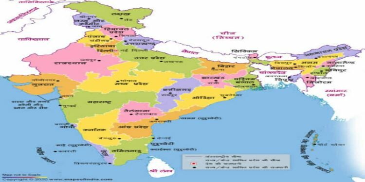
Bharat Maps
- A Multi-layer GIS Platform
- Digital India aims to establish end to end geo-spatial electronics delivery systems as part of Mission Mode Projects in e-Governance domain and envisages “National GIS Mission” as core foundation of location based Electronic Delivery of Services for Planning & Governance.
- NIC/DeitY has created Multi-Layer GIS Platform named “Bharat Maps” which depicts core foundation data as “NICMAPS”, an integrated base map service using 1:50,000 scale reference data from Survey of India, ISRO, FSI, RGI and so on.
- This encompasses 23 layers containing administrative boundaries, transport layers such as roads & railways, forest layer, settlement locations etc., including terrain map services.
Key Features of Bharat Maps
- A robust and scalable framework based on service oriented architecture
- NIC common spatial data repository as per the Open Geospatial Consortium (OGC) standards with many vector layers comprising of administrative boundaries, transportation network, natural resources etc.
- NIC base map service consisting of pre-composed maps with scales ranging from 1:40 million to 1:20000
- Administrative boundaries and locations up to village level covering 725+ districts, 6000+ blocks/ sub-districts, 6,40,000 villages and corresponding Gram Panchayats (GPs), linked with Census/ Local Government Directory (LGD) Codeuser to view/ analyze specific area with masking
- Basic GIS tools for navigation, query, buffer, print and distance measurement
- Advanced geo-processing models for elevation profile, swipe and spotlight
- Linkage to attribute data like census etc
- Full compliance with National Map Policy 2015 of the Ministry of Defence, Remote Sensing Data Policy 2011 from ISRO and National Data Sharing and Access Policy 2012 of Department of Science and Technology (DST)


