
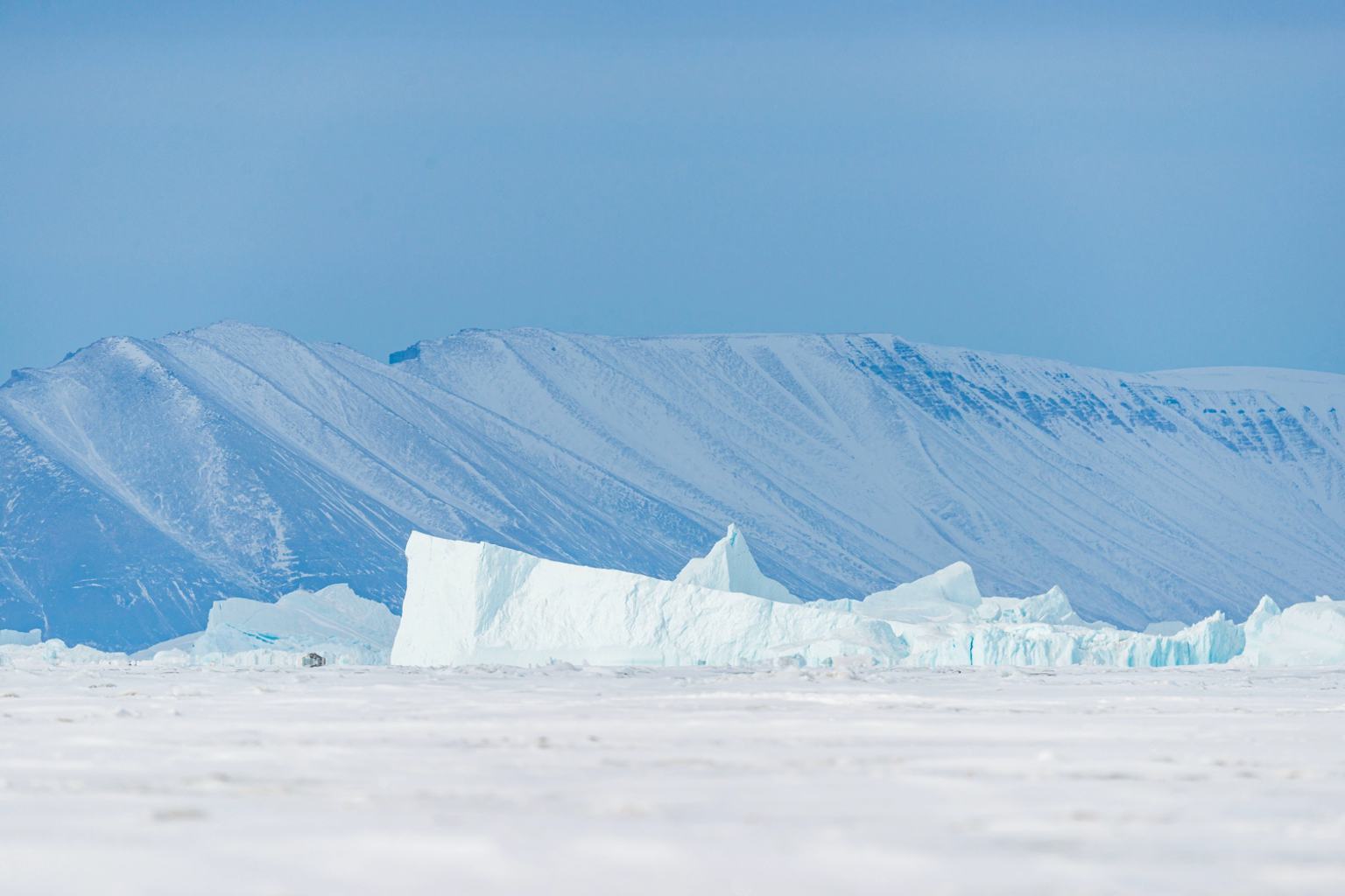
Imagine a mountain of ice and rock nearly 4,000 feet tall suddenly breaking loose and crashing into a fjord, unleashing a wave taller than two Statues of Liberty stacked together. In September 2023, this jaw-dropping event unfolded on Greenland’s east coast, triggering a megatsunami with waves reaching 650 feet and sending seismic tremors rippling around the world for an unprecedented nine days. This awe-inspiring natural disaster isn’t just a remote Arctic tale—it’s a stark signal of the escalating consequences of climate change.
Unleashing an unprecedented megatsunami in Greenland
What began as the sudden collapse of a massive glacier in the Dickson fjord rapidly transformed into one of the most powerful natural events ever recorded. Around 33 million cubic yards of ice and rock surged into the narrow fjord, initially displacing water and creating a modest 8-foot wave. But confined by the fjord’s steep walls, this wave bounced back and forth, rapidly growing in size until it culminated in a towering 650-foot tsunami — a height more than twice the Statue of Liberty’s 305 feet.
Scientists identified the wave as a stationary or seiche wave, where energy becomes trapped and amplified rather than dissipating. The glacier’s collapse and resulting megatsunami sent seismic waves detectable worldwide, persisting continuously for nine days—longer than any tremors previously linked to natural disasters of this kind.
This phenomenon serves as a dramatic illustration of how melting glaciers don’t just contribute to rising seas but can unleash immediate, catastrophic events with far-reaching consequences across the globe.
Cutting-edge satellite and seismic tools unravel the megatsunami’s mysteries
The detailed unraveling of this event’s dynamics was made possible by the collaboration of advanced satellite technology and continuous seismic monitoring. NASA and the French space agency CNES’s SWOT (Surface Water and Ocean Topography) satellite, launched in late 2022, played a key role. Equipped with an innovative KaRIn radar instrument, SWOT measures water heights across 90% of Earth’s surface with high precision—down to about 8 feet.
By analyzing the radar pulses bouncing between Earth’s surface and the satellite, researchers could detect subtle shifts in the fjord’s water surface during the megatsunami. Coupling these data with seismic records allowed scientists to map the wave’s progression even when the satellite was not directly overhead.
This combination of technologies marks a breakthrough in monitoring extreme natural events in remote areas like the Arctic, where traditional sensors are sparse. It also confirmed the direct link between warming temperatures and glacier instability, highlighting how climate change is triggering new types of natural hazards.
Experts believe this integrated approach will be instrumental in forecasting and mitigating future disasters caused by sudden glacier collapses or similar events on a warming planet.
Climate change is rewriting what we know about Arctic risks
The Greenland megatsunami is more than an isolated incident; it’s a warning flare about accelerated environmental changes in the Arctic. The region is warming at roughly twice the global average, accelerating glacial melting and increasing the chances of catastrophic collapses.
According to a recent Intergovernmental Panel on Climate Change (IPCC) report, the Arctic’s rapid transformation drastically increases risks for local communities, ecosystems, and global weather patterns. Such events can disrupt marine habitats, threaten wildlife, and jeopardize fragile human infrastructure.
Witnessing glacier disintegration firsthand—as I once did during an expedition—brings home the fragile balance of these polar landscapes. Their seeming permanence masks how quickly climate forces can upend these environments, unleashing massive energy and reshaping coastlines.
“This event underscores the urgent need to monitor and prepare for previously rare natural disasters amplified by human-driven warming,” said Dr. Lisa Nguyen, a glaciologist specializing in climate impacts.
Looking ahead: Preparing for an unpredictable climatic future
The fusion of high-precision satellite data with seismic monitoring is a beacon of hope. It allows scientists to identify warning signs and better understand the complex dynamics of glacial collapses and megatsunamis. But this technology also serves as a reminder: Our warming world is generating new challenges that require global awareness and action.
As communities worldwide grapple with increasing climate risks—from floods to wildfires and now megatsunamis—the question remains: How prepared are we for these escalating natural threats? More critically, how can we strengthen resilience, protect vulnerable populations, and minimize future devastation?
Please share your thoughts or experiences with climate-driven natural events in the comments below. Conversations like these are vital in helping us all adapt and respond wisely as our planet changes in real time.